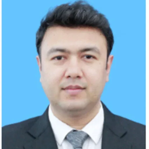
Yub Raj Dhakal
Chief Environment Researcher
PhD candidate, Environmental Science, Tribhuvan University
20+ years in environmental assessment and safeguards for World Bank, ADB, KfW and IFC projects.
View profile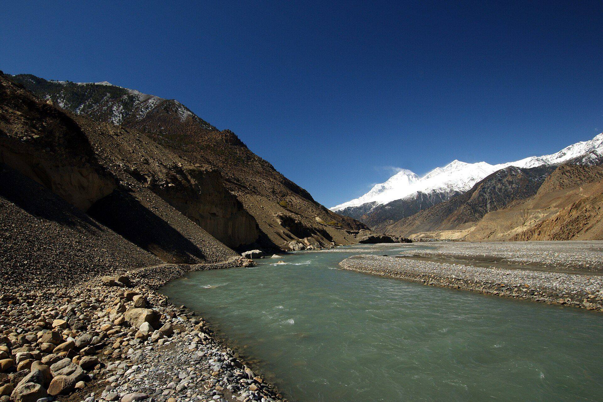
ATERN combines environmental impact assessment, geospatial research and cloud and AI engineering to help government agencies, development partners and businesses plan and build responsibly.
EIA, IEE and ESIA studies and safeguard supervision to national and lender standards.
Learn moreGlacial lakes, watersheds, habitat and climate, studied with satellite and field data.
Learn moreCloud platforms, machine learning and web and mobile applications.
Learn more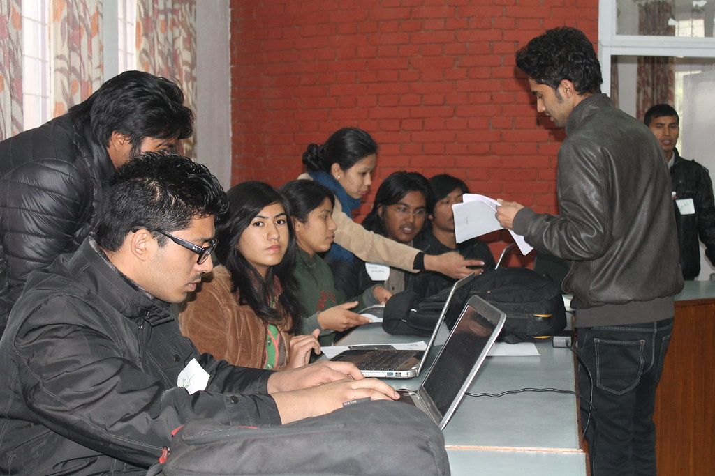
Our researchers have spent years on Nepal’s hydropower sites, highway corridors, national parks and glacial lakes. ATERN combines that field science with cloud computing and machine learning, so environmental evidence is gathered carefully and used well.
Commission a single study or combine field science, geospatial analysis and software in one contract.
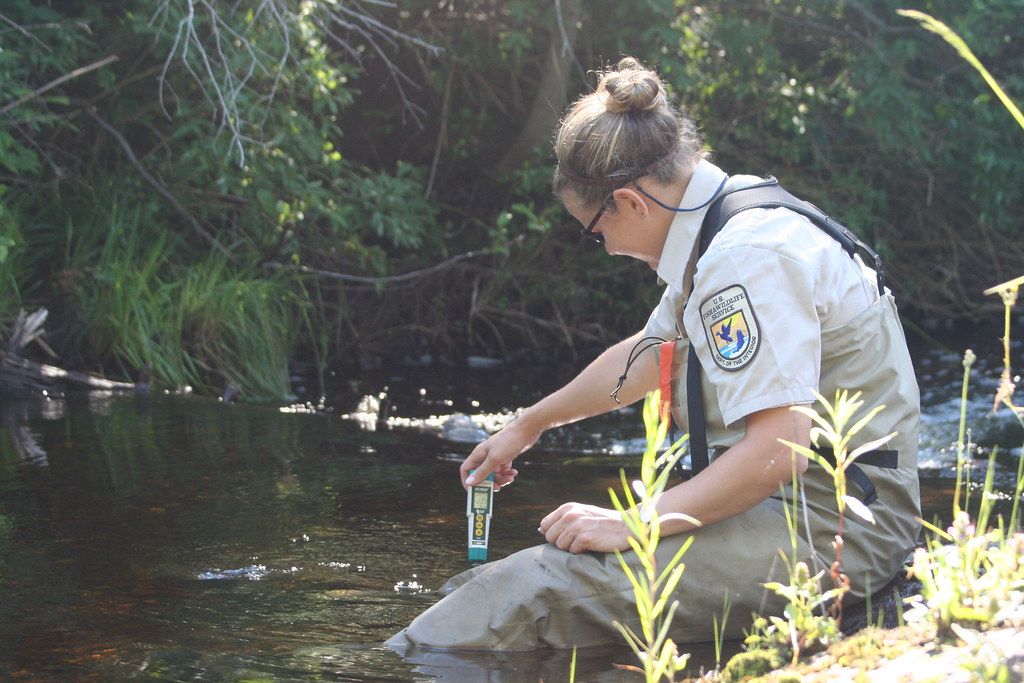
Environmental and social impact studies for hydropower, roads, bridges, transmission lines, water supply and industry, prepared to Nepal’s requirements and international lender standards.
Read more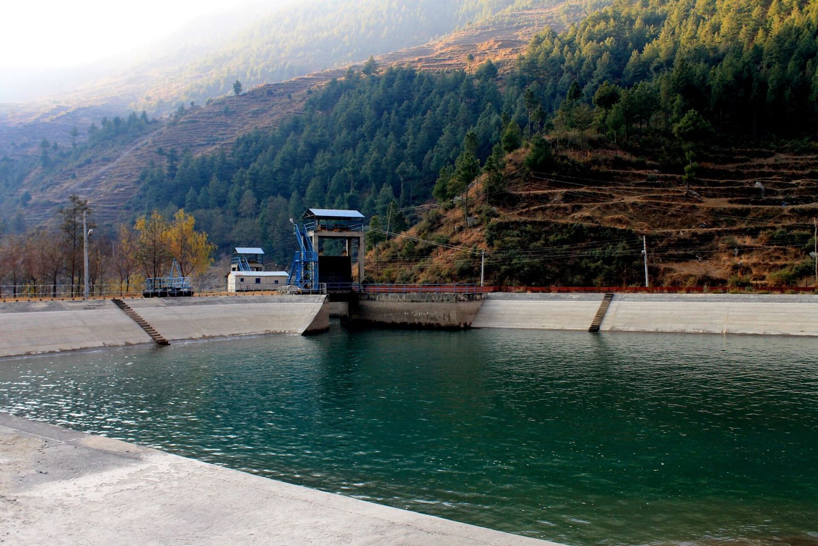
Safeguard supervision, compliance audits and management systems for projects financed by the World Bank, ADB, KfW and IFC, from construction sites to lender due diligence.
Read more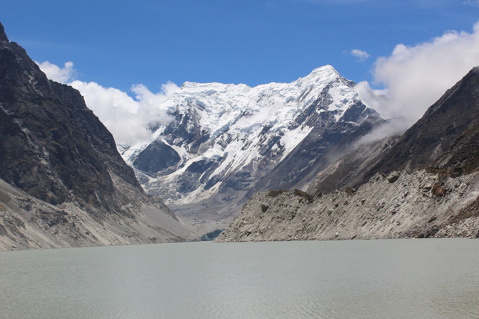
Satellite mapping of glacial lakes, outburst flood susceptibility assessment, and landslide and flood hazard mapping for communities and infrastructure in the Himalaya.
Read more
Watershed prioritisation, terrain and land-cover analysis, habitat modelling and climate data analysis, using satellite imagery, Google Earth Engine, Python and R.
Read more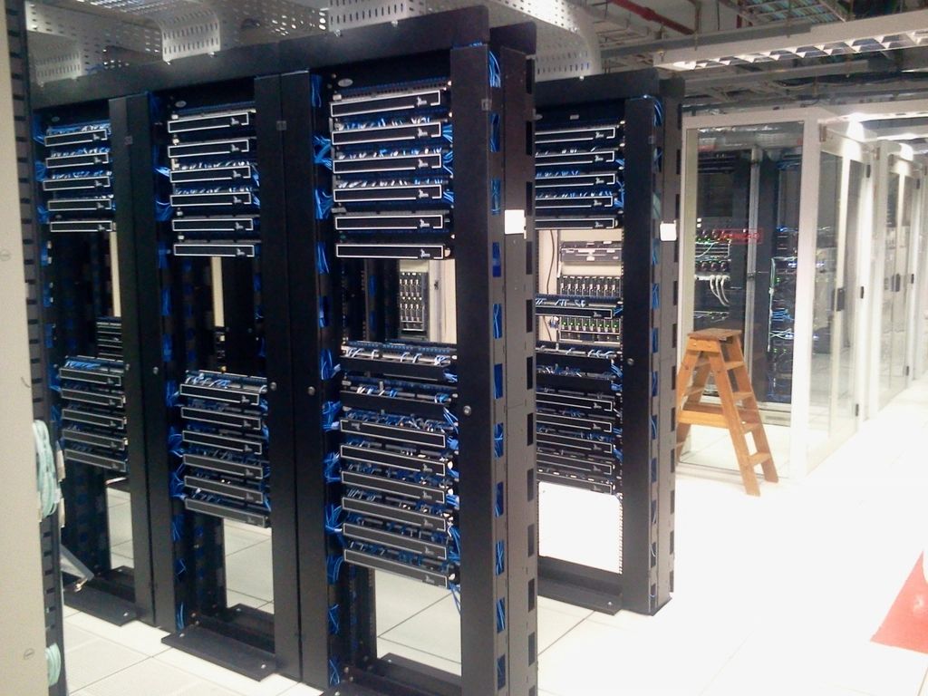
Cloud infrastructure, data pipelines and machine-learning models, including deep learning on satellite imagery, for organisations working with large datasets.
Read more
Web platforms, mobile apps and GIS dashboards, designed and built in-house and deployed on dependable cloud infrastructure.
Read more 2018
2018
Field surveys and habitat suitability modelling for the endangered red panda across high-altitude bamboo and forest ecotones, deli...
 Ongoing
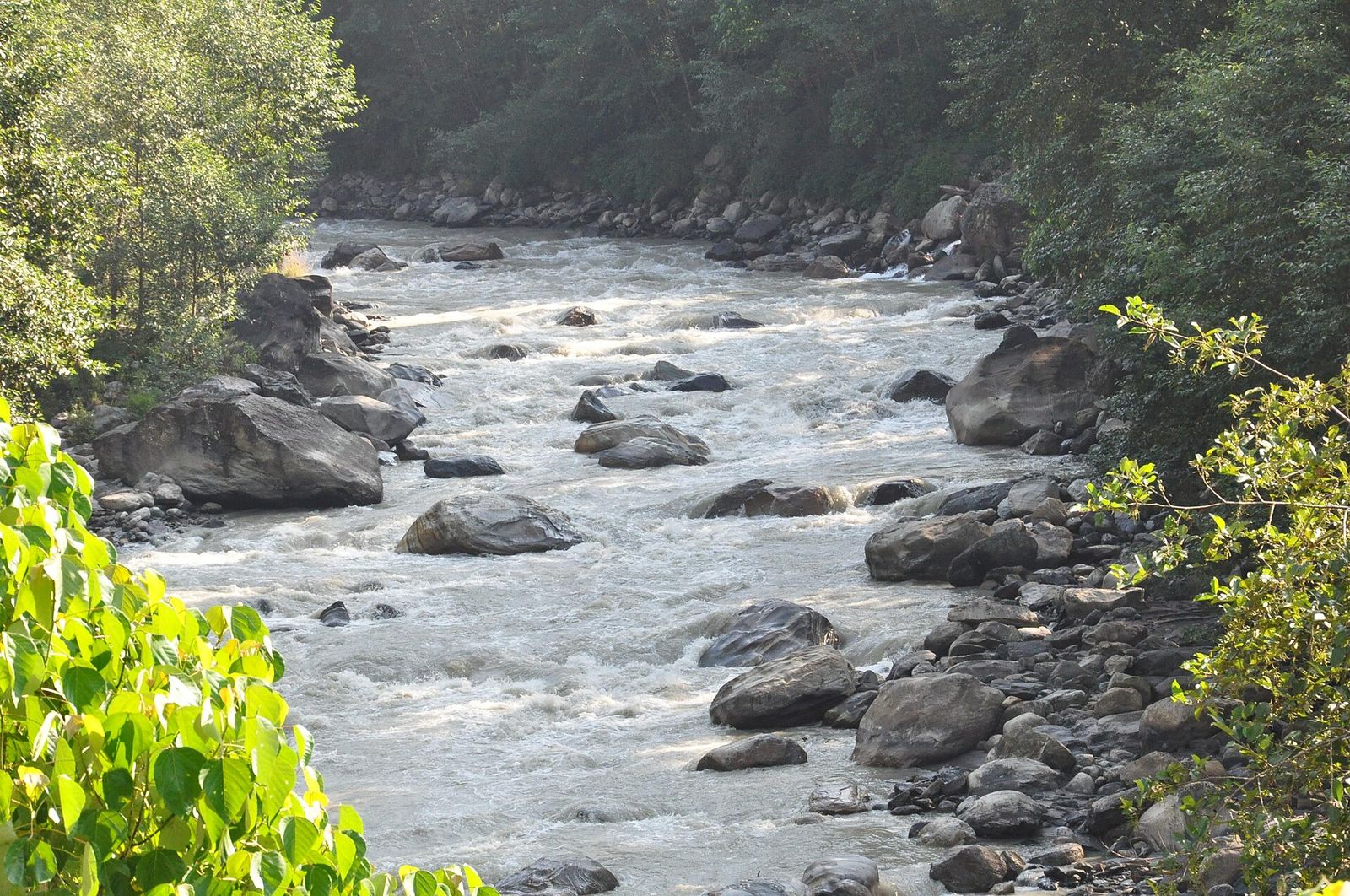
Initial Environmental Examination for a major drinking water abstraction from the Kali Gandaki River for the Tansen water supply.
 2023
2023
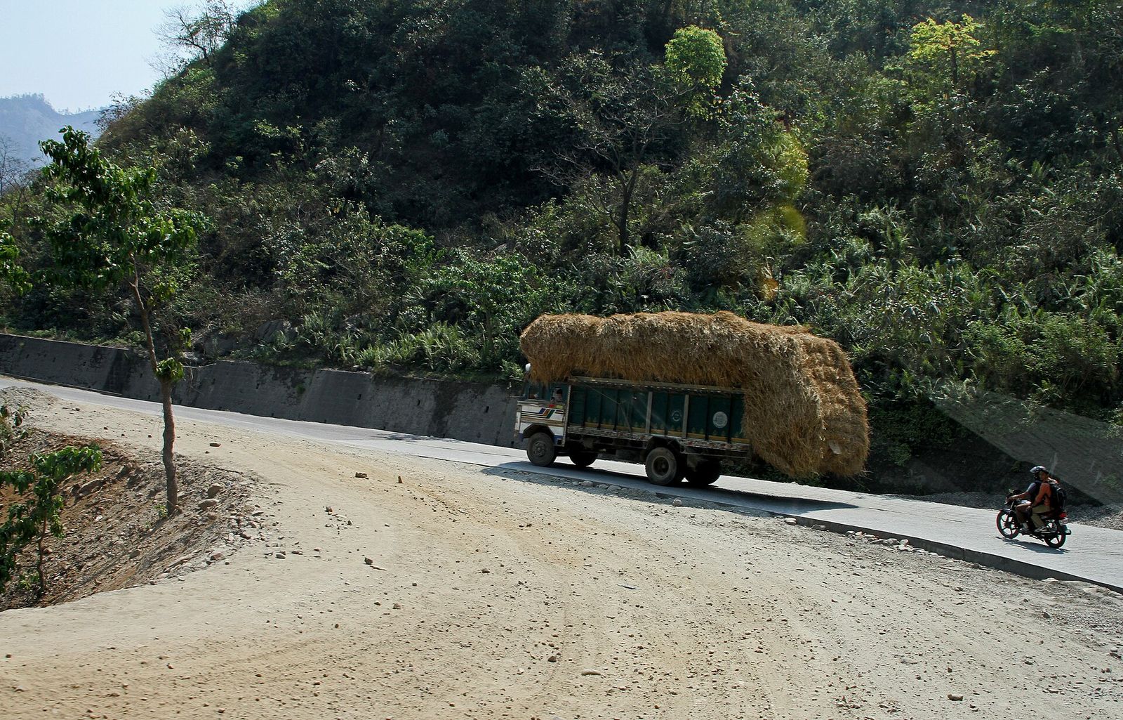
Safeguard compliance monitoring and environmental audits for strategic national highway corridors financed by the Asian Developmen...
We confirm the site, the national requirements and lender standards, and what the work must show.
Physical, biological and socio-economic baselines, and consultation with affected communities.
Satellite imagery, terrain, climate records and field data combined in GIS, with machine learning where useful.
Reports and management plans to regulator and lender standards, plus dashboards or software when needed.
Researchers in environmental science, geography and mountain hazards, working with engineers in cloud computing and AI.
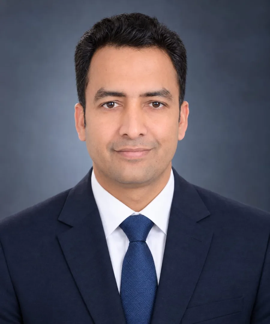
Chief Environment Researcher
PhD candidate, Environmental Science, Tribhuvan University
20+ years in environmental assessment and safeguards for World Bank, ADB, KfW and IFC projects.
View profileHuman Geographer & Spatial Analyst
PhD, Human Geography, Chinese Academy of Sciences
GIS and remote sensing specialist in watershed science, habitat modelling and environmental assessment.
View profileGlacial Lakes & Mountain Hazards Researcher
PhD, Chinese Academy of Sciences; Postdoctoral Researcher, Tribhuvan University
Researches glacial lakes and outburst flood hazards in the Nepal Himalaya using satellite data.
View profileChief Technical Officer & Consultant
Cloud computing, AI and machine learning
Leads our technology work in cloud computing, AI/ML, and web and mobile development.
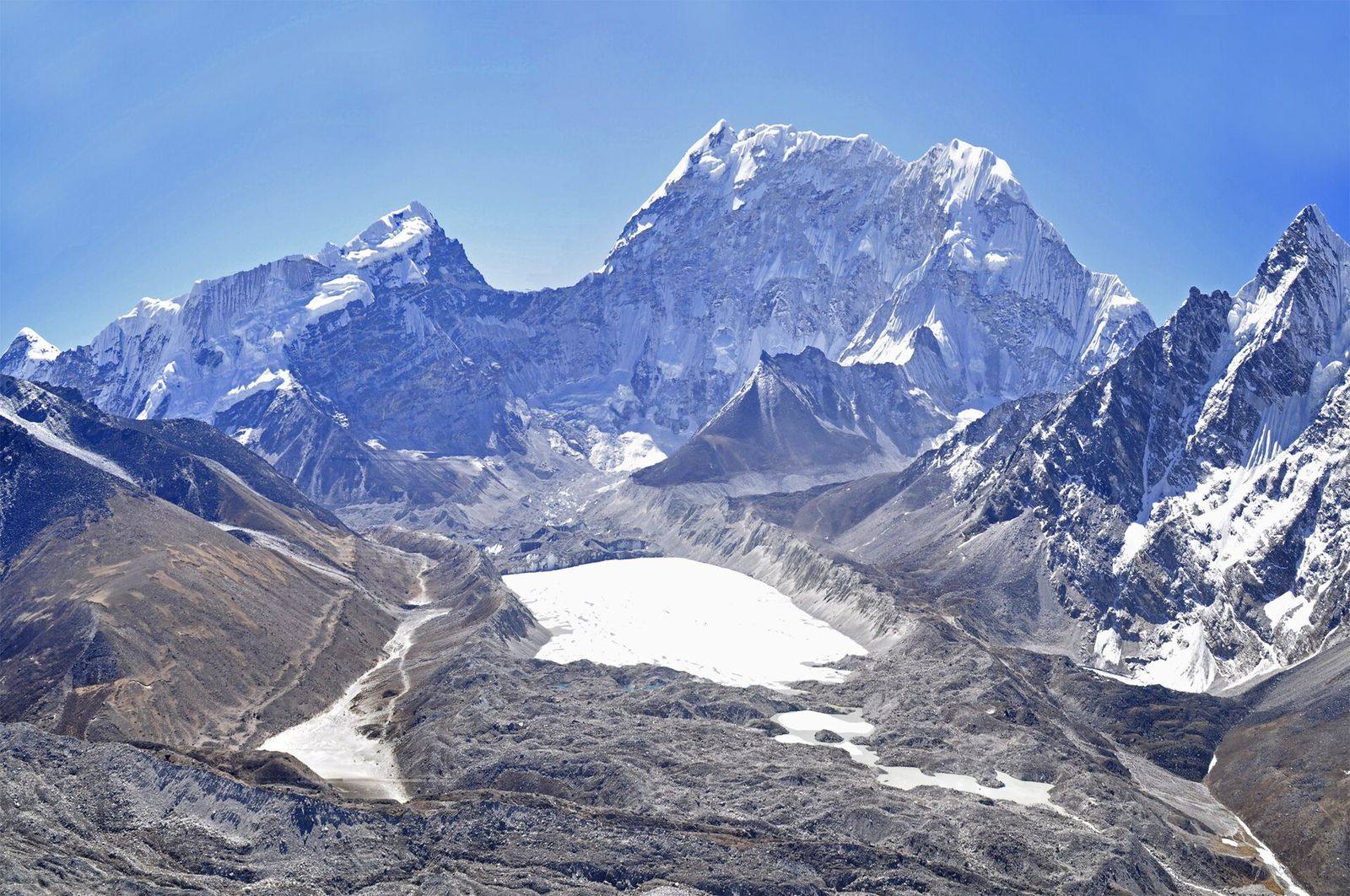
An annual, satellite-derived record of glacial lakes across Nepal and its transboundary basins, mapped with deep learning from Sentinel-1 and Sentinel...
Read summary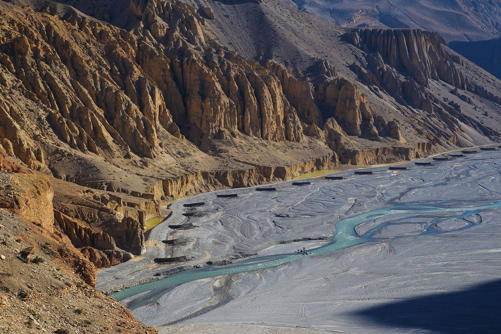
A statistical method for deciding how finely to divide steep Himalayan catchments into sub-watersheds, replacing arbitrary manual choices.
Read summary
A composite index that combines linear, areal and relief measurements of catchments to rank which mountain sub-watersheds most need soil conservation.
Read summary
Tell us about your site, data or deadline. Our team replies to every enquiry within one working day.