
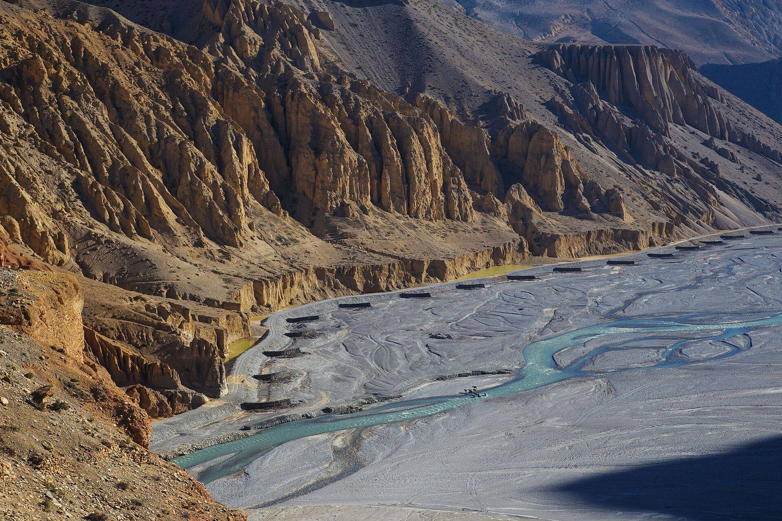
Watershed prioritisation, terrain and land-cover analysis, habitat modelling and climate data analysis, using satellite imagery, Google Earth Engine, Python and R.
Spatial analysis sits behind almost everything we do. Our geospatial researchers combine satellite imagery, terrain models and field data to answer planning questions in data-scarce mountain regions.
Capabilities
- Watershed delineation and sub-watershed prioritisation, including the Watershed Morphometric Composite Index (WMCI) developed by our team
- Terrain, land-cover and land-use change analysis
- Hydrological modelling with SWAT
- Habitat suitability and species distribution modelling with MaxEnt
- Climate and cryosphere analysis: rainfall, snow cover and fire from satellite records
- Spatial analysis of human–wildlife conflict and socio-economic data
Tools
- Google Earth Engine for large-scale satellite processing
- Python and R for spatial statistics and automation
- Desktop and web GIS for mapping and data delivery
Related work
View all projects
Projects using this service
 2018
2018
Geospatial & technology
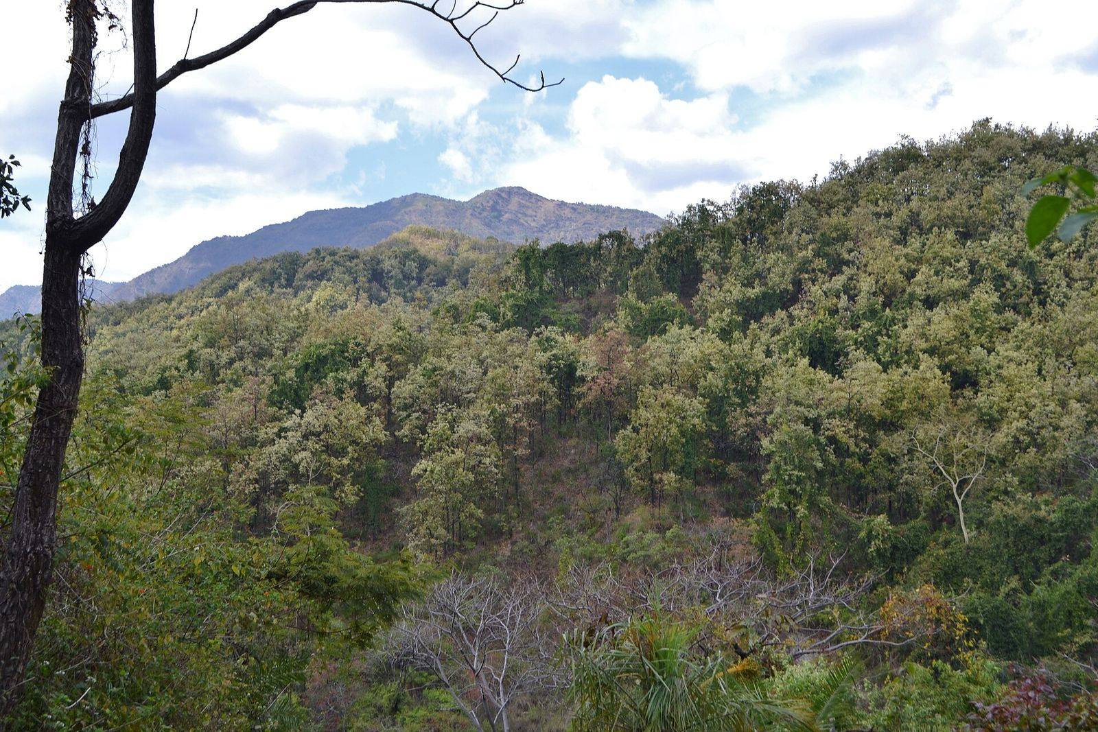
Red Panda Presence Mapping and Habitat Suitability, Langtang National Park
Field surveys and habitat suitability modelling for the endangered red panda across high-altitude bamboo and forest ecotones, deli...
 2021
2021
Geospatial & technology
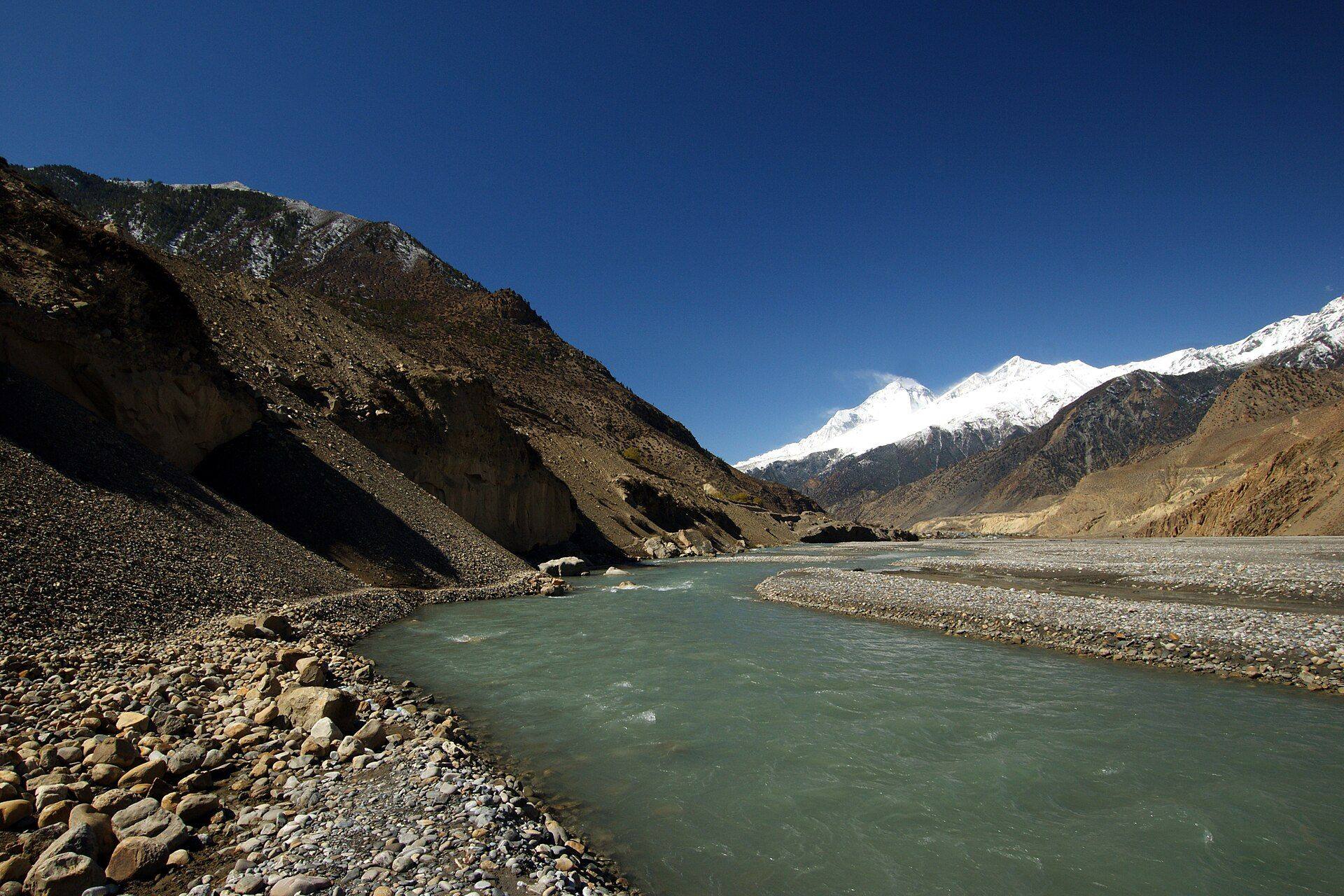
Tiger Conservation in the Banke Complex: Social Impacts and Sentiments
Community-focused spatial analysis of human–carnivore coexistence around Banke National Park and its buffer zone.
Have a project in mind? Let’s talk.
Tell us about your site, data or deadline. Our team replies to every enquiry within one working day.