
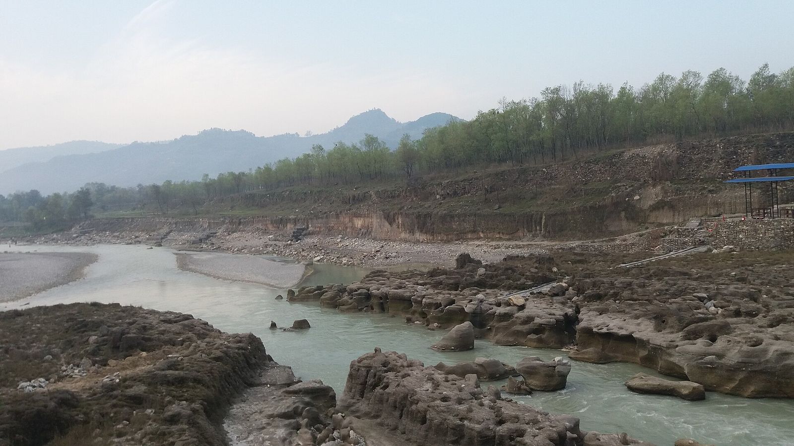

Field surveys and habitat suitability modelling for the endangered red panda across high-altitude bamboo and forest ecotones, delivered as conservation zoning maps for park authorities.
Background
The red panda (Ailurus fulgens) is an endangered species that depends on bamboo-rich temperate forest. Protecting it starts with knowing where suitable habitat actually is.
Approach
Field teams recorded species signs, droppings and micro-habitat conditions across the high-altitude bamboo and forest ecotones of Langtang National Park. These records were used to model habitat suitability with MaxEnt.
Outcome
Predictive habitat suitability maps and conservation zoning guidelines, adopted by Langtang National Park authorities.
Team
Shravan Kumar Ghimire, PhD, as team member and geospatial researcher.
Other projects
 Ongoing
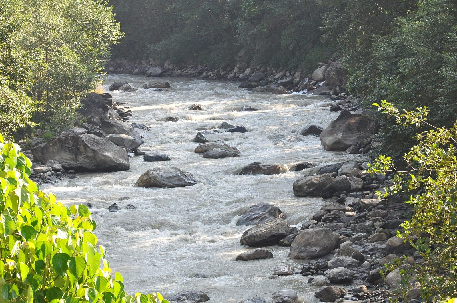
Tansen Drinking Water Supply Project: Initial Environmental Examination
Initial Environmental Examination for a major drinking water abstraction from the Kali Gandaki River for the Tansen water supply.
 2023
2023
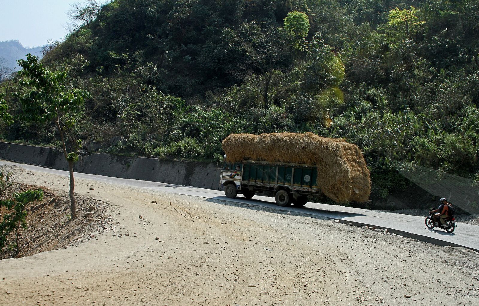
Environmental Safeguards, SASEC Highway Improvement Project
Safeguard compliance monitoring and environmental audits for strategic national highway corridors financed by the Asian Developmen...
2021
Site-Specific Environmental Management Plan, Tanahu Hydropower (140 MW)
A construction-phase environmental management plan for the 140 MW storage hydropower dam on the Seti River, including muck disposa...

Have a project in mind? Let’s talk.
Tell us about your site, data or deadline. Our team replies to every enquiry within one working day.