
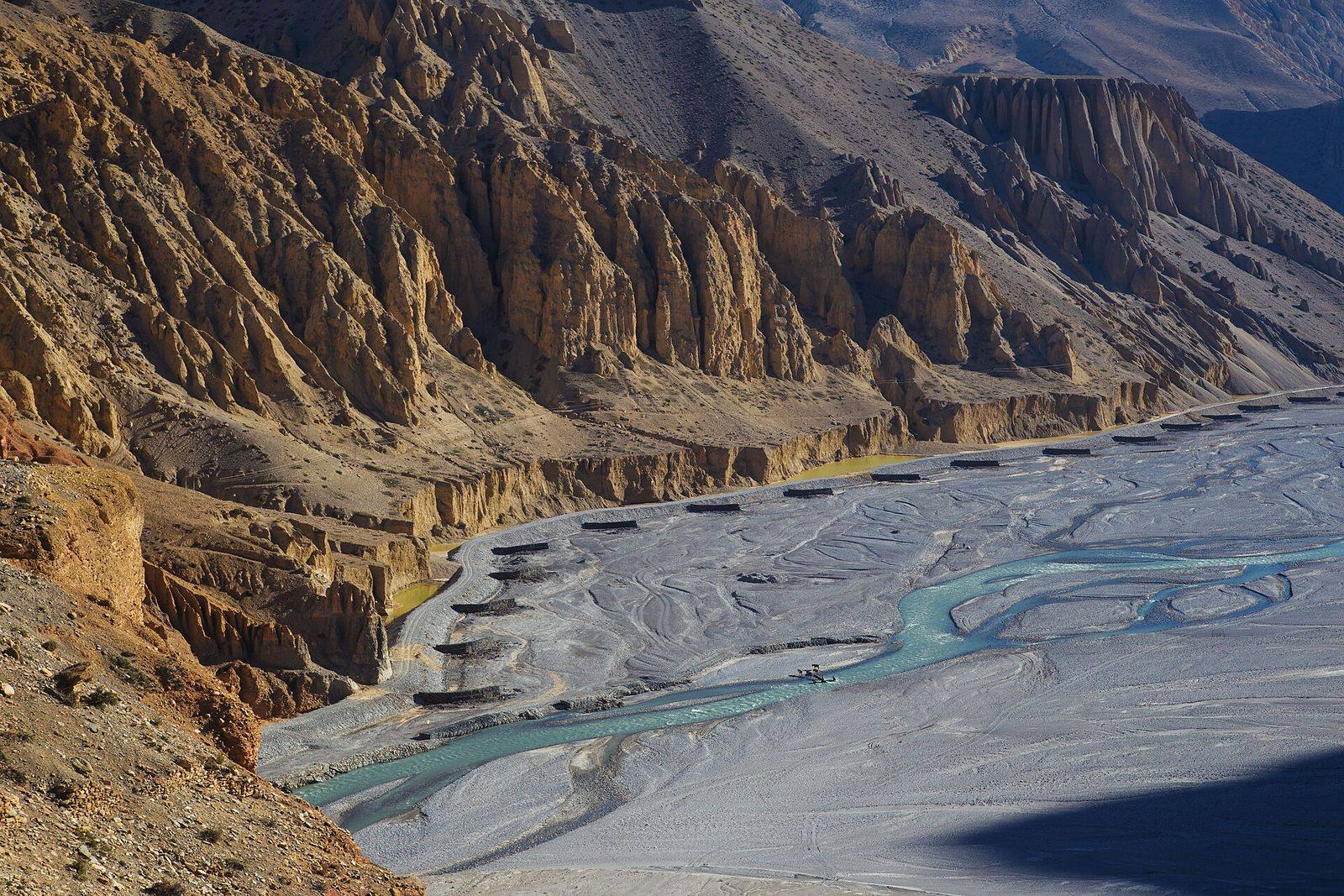
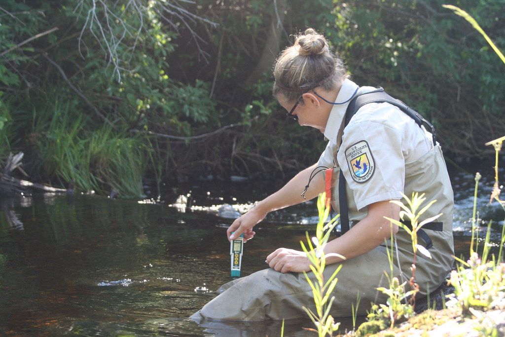
Environmental Impact Assessment (EIA, IEE & ESIA)
Environmental and social impact studies for hydropower, roads, bridges, transmission lines, water supply and industry, prepared to Nepal’s requirements and international lender standards.
Read more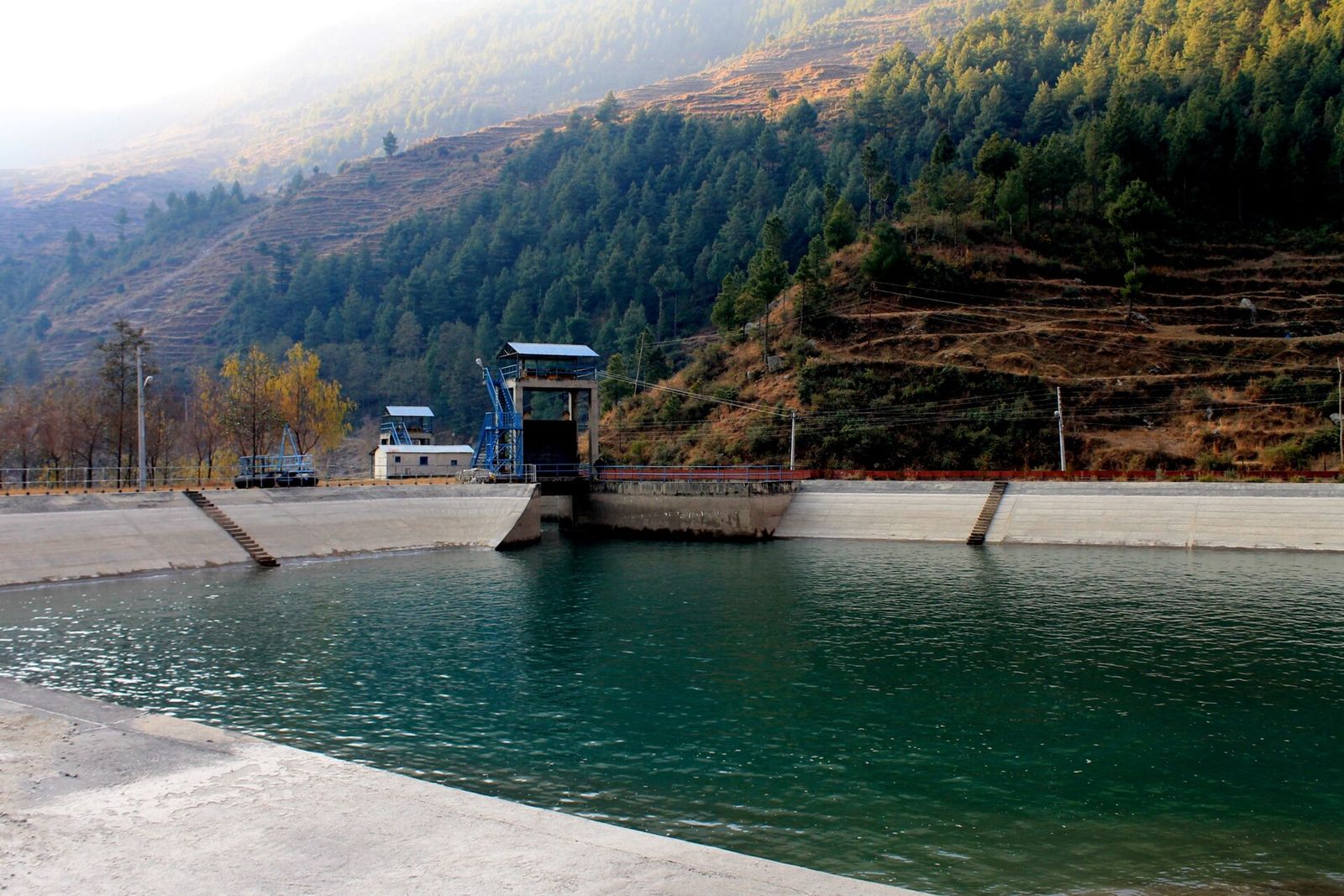
Environmental & Social Safeguards
Safeguard supervision, compliance audits and management systems for projects financed by the World Bank, ADB, KfW and IFC, from construction sites to lender due diligence.
Read more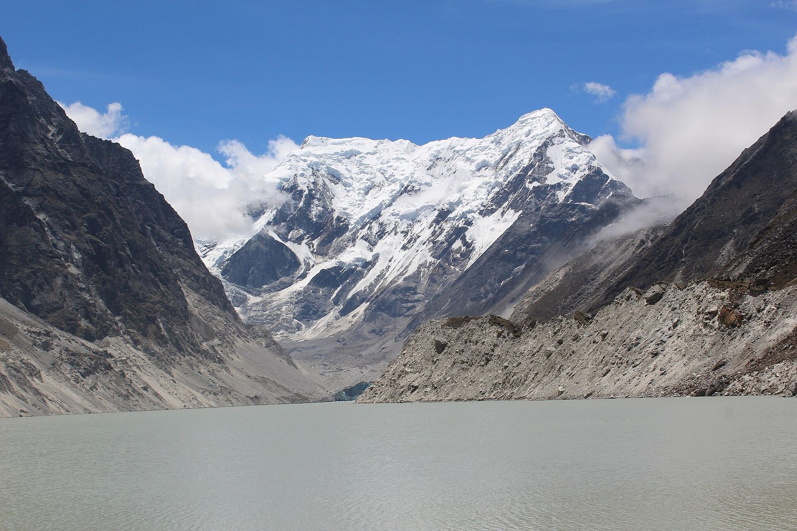
Glacial Lake & Mountain Hazard Assessment
Satellite mapping of glacial lakes, outburst flood susceptibility assessment, and landslide and flood hazard mapping for communities and infrastructure in the Himalaya.
Read more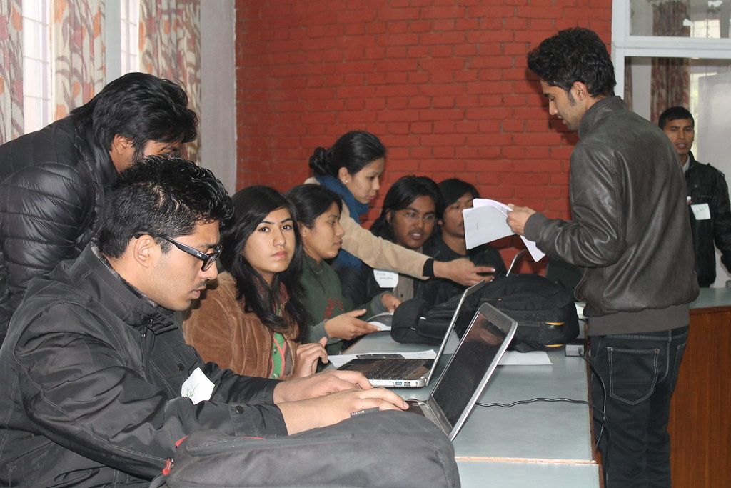
GIS, Remote Sensing & Watershed Analysis
Watershed prioritisation, terrain and land-cover analysis, habitat modelling and climate data analysis, using satellite imagery, Google Earth Engine, Python and R.
Read more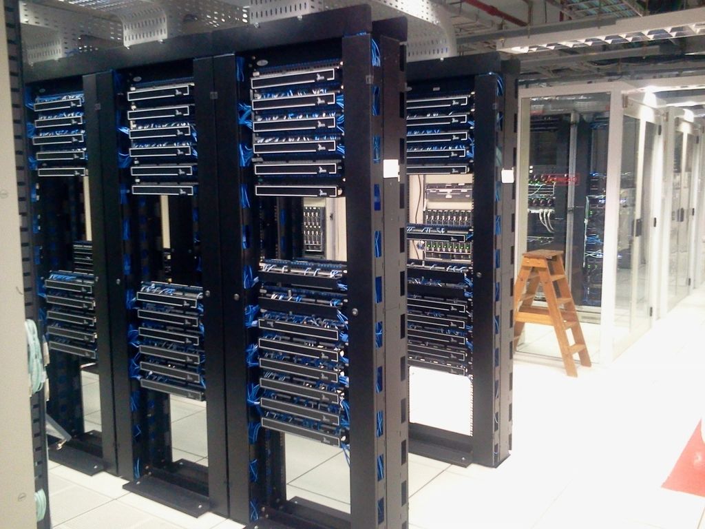
Cloud Computing, AI & Machine Learning
Cloud infrastructure, data pipelines and machine-learning models, including deep learning on satellite imagery, for organisations working with large datasets.
Read more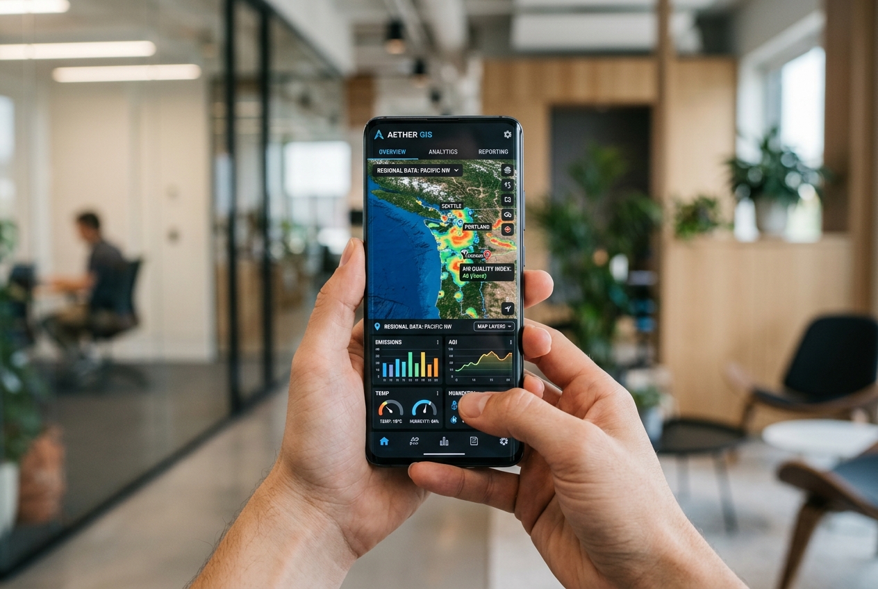
Web & Mobile Software Development
Web platforms, mobile apps and GIS dashboards, designed and built in-house and deployed on dependable cloud infrastructure.
Read more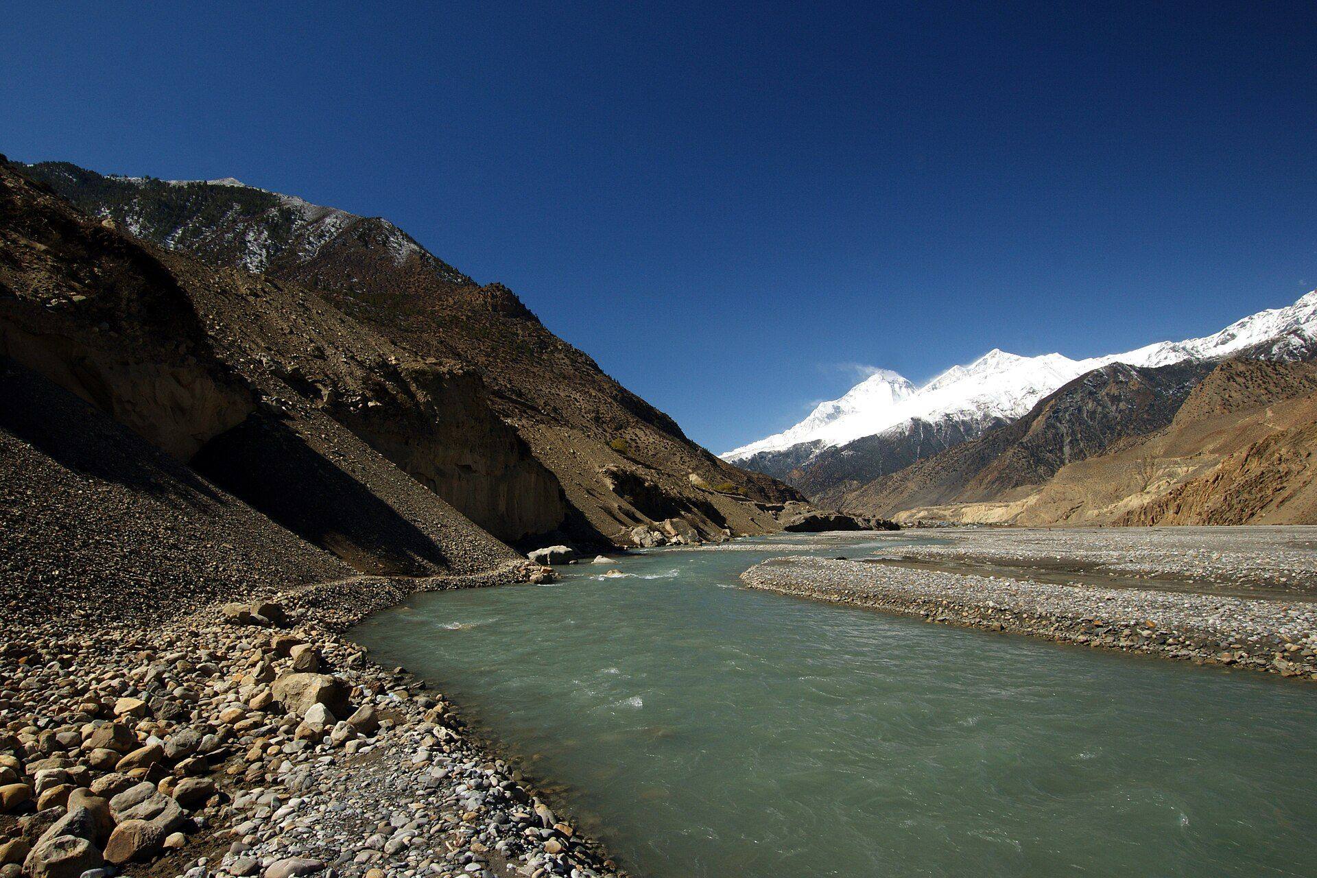
Need more than one service?
Many of our projects combine field science, geospatial analysis and software. Tell us about the problem and we will suggest an approach.