
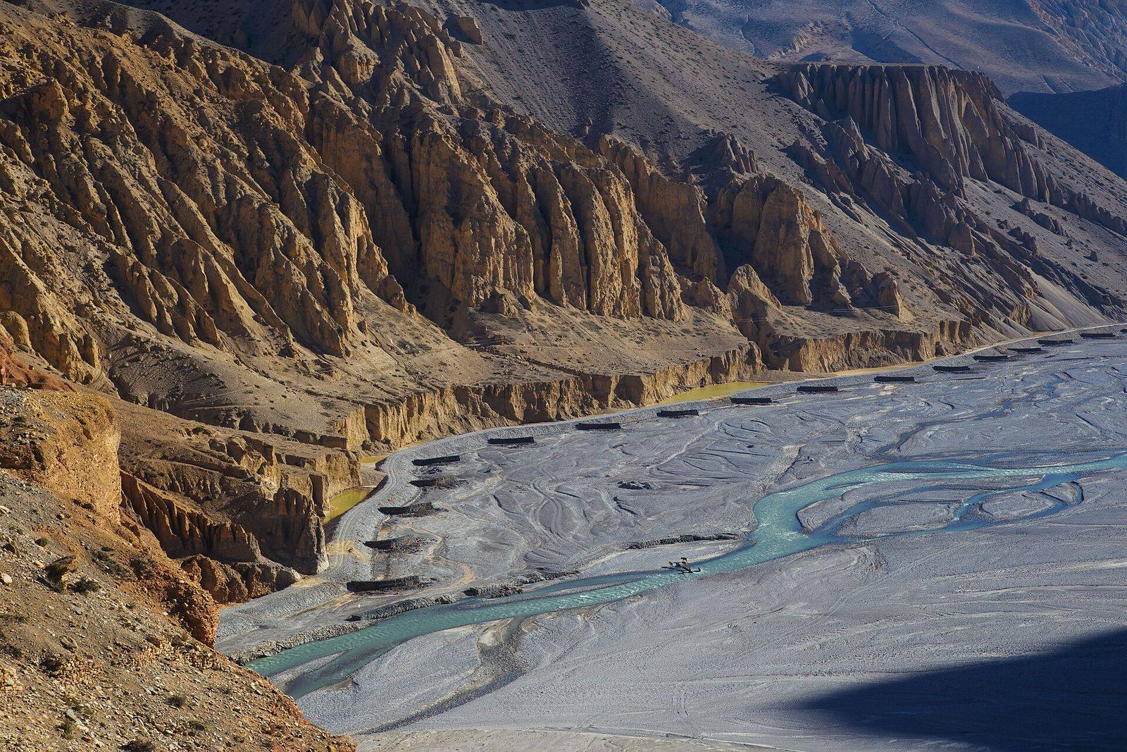
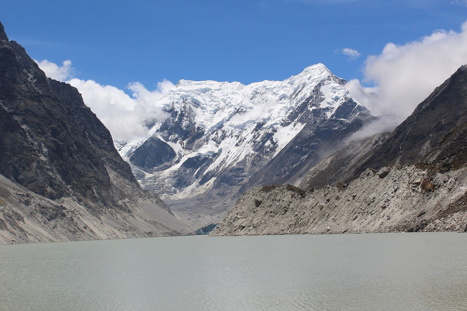
Satellite mapping of glacial lakes, outburst flood susceptibility assessment, and landslide and flood hazard mapping for communities and infrastructure in the Himalaya.
Glacial lakes in Nepal are growing as glaciers retreat, and many sit above villages, roads and hydropower schemes. Our researchers have built national glacial lake inventories from four decades of satellite imagery, contributed to an annual glacial lake dataset mapped with deep learning, and published methods for judging which lakes are most likely to burst.
Services
- Glacial lake inventories and change detection from Landsat and Sentinel imagery
- Glacial lake outburst flood (GLOF) susceptibility assessment using multi-criteria frameworks
- Mapping of downstream settlements, roads and hydropower exposed to outburst floods
- Landslide hazard zonation and slope stability assessment along road corridors
- Flood inundation mapping for river crossings and bridges
- Hazard information for early warning and disaster risk reduction planning
Have a project in mind? Let’s talk.
Tell us about your site, data or deadline. Our team replies to every enquiry within one working day.