
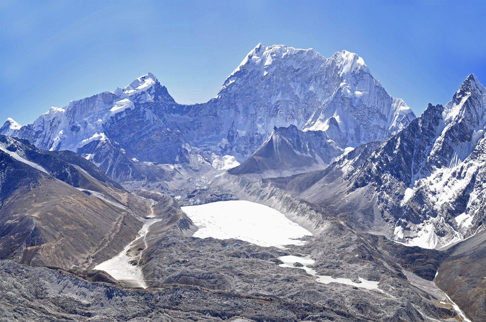
An annual, satellite-derived record of glacial lakes across Nepal and its transboundary basins, mapped with deep learning from Sentinel-1 and Sentinel-2 imagery.
Authors
Lauren D. Rawlins, C. Scott Watson, Rakesh Bhambri, Nitesh Khadka and Mohan B. Chand
Published in
Earth System Science Data, volume 18 (2026)
About the study
Glacial lakes in the Himalaya change from year to year, but most inventories are snapshots taken a decade or more apart. The Glacial Lake Observatory provides a yearly record instead. A deep-learning model was trained to extract water bodies from Sentinel-1 radar and Sentinel-2 optical mosaics for each year from 2017 to 2024, and every lake was classified as glacier-fed or not according to its hydrological connection to glaciers.
Key findings
- 22,294 lake outlines were mapped from Sentinel-2 imagery and 18,129 from Sentinel-1, representing 4,150 and 2,967 unique lakes respectively
- Both the number and the total area of lakes increased over the eight years
- The Koshi basin holds about 61% of all mapped lakes and nine of the ten fastest-expanding ones